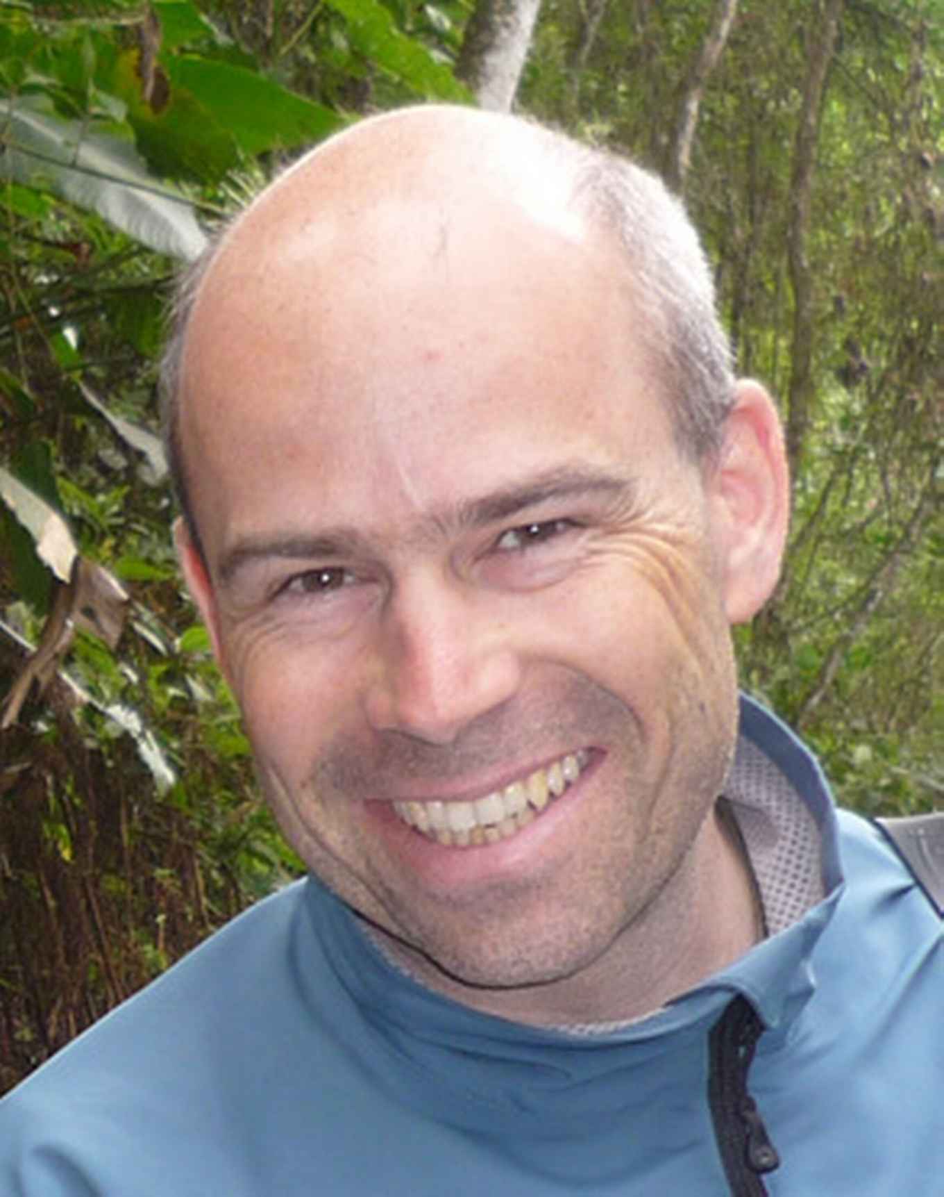
eScience grant for Daniel Kissling
6 January 2017

The eScience Center has funded eight new projects in the areas of Environment & Sustainability, Life Sciences & eHealth, Humanities & Social Sciences, Physics & Beyond and Disruptive Computer & Data Science. The projects are collaborations between research teams from multiple Dutch academic groups.
Area
The team of Daniel Kissling, Willem Bouten and Harry Seijmonsbergen from the Institute for Biodiversity and Ecosystem Dynamics, and Ruud Foppen from the Radboud University have received the grant in the area of Environment & Sustainability. The grant comes with money for a PhD position (210,000 euro), and a position of an eScience Engineer who will do advanced computations and develop software and workflows
Their new project is called eEcoLiDAR, an eScience infrastructure for Ecological applications of Light Detection and Ranging (LiDAR) point clouds. These will characterise the vertical and horizontal complexity of vegetation and landscapes across large spatial extents using data derived from laser scanning. This will allow novel insights into the distribution of biodiversity by quantifying habitat structures for animals with unprecedented detail and accuracy.
eEcoLiDAR project
High-resolution measurements of 3D ecosystem structure across broad spatial extents are currently lacking. This is a major bottleneck for predictive animal distribution modelling. The eEcoLiDAR project will process massive amounts of LiDAR point cloud data to quantify the vertical and horizontal complexity of forests, such as tree heights, densities, canopy cover and gaps. And also the extent and structure of open habitats, such as hedges in agricultural landscapes, shrub density and coverage, height and density of reed beds. This habitat data is then used in species distribution models to predict the abundance and distribution of animals.
Massive amounts
The processing of massive amounts of LiDAR point cloud data is challenging. It will be achieved by developing a generic interactive eScience infrastructure with multi-scale object-based image analysis and interpretation of LiDAR point clouds, including data storage, scalable computing, machine learning and visualisation. The classified objects will include trees, bushes and reed beds with their related metrics, attributes and summary statistics like vegetation openness and vertical biomass distribution.
The newly developed eScience tools and data will be available to other disciplines and applications in ecology and the Earth sciences. The project thus fosters new multi-disciplinary collaborations between ecologists and eScientists and contributes to training a new generation of geo-ecologists.