PhD defence ceremony Christoph Schaller
- Date
- 9 March 2026
- Time
- 16:00
- Location
- Agnietenkapel
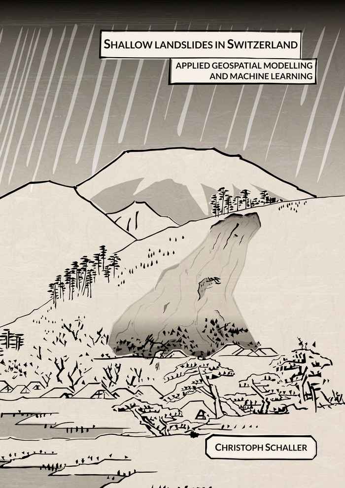
Shallow landslides and subsequent hillslope debris flows induced by rainfall are spontaneous natural hazards that pose a significant risk to people and infrastructure, particularly in mountainous regions such as Switzerland. Regional landslide hazard mapping and modelling provide an important basis for indicating potential hazard areas and risk mitigation. This thesis explores ways to improve the simulation of shallow landslides in Switzerland by applying geospatial modelling and machine learning methods to key steps in the modelling process used for hazard indication mapping. First, the thesis focuses on improving the simulation input data by developing machine learning models for individual tree detection and the prediction of potential shallow landslide failure depth. The second focus of the thesis lies on improving the modelling of shallow landslide susceptibility and runout, integrating the improved input data. We develop and test a methodology for assessing absolute shallow landslide occurrence probability at regional scale, based on slope stability simulations and data-driven optimisation of soil property parameters. Finally, we develop and test a semi-empirical mass propagation model for the probabilistic simulation of hillslope debris flow runout. Overall, this thesis demonstrates that the systematic integration of machine learning into landslide modelling can significantly improve hazard simulations. However, it also highlights ongoing challenges related to data quality, uncertainty, and practical implementation.