Computational facilities

The IBED computational support team works in close collaboration with researchers and students to transfer specialized knowledge of bioinformatics, database management, programming, machine learning and geospatial data. The team helps staff and students use IBED’s computational resources and facilities.
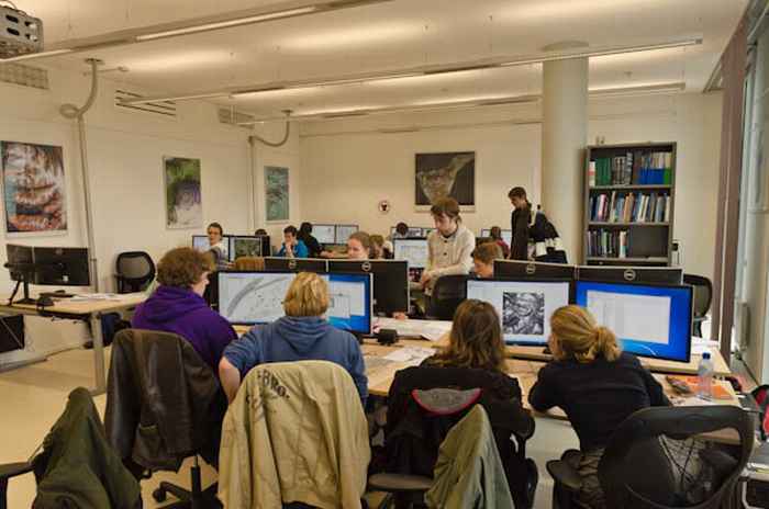
The GIS Studio provides hardware and software designed to assist students and staff in spatial data analysis. The facility has high-end computers with Geographical Information Systems and remote sensing software, drones, handheld laser scanners and mobile GIS fieldwork tablets.
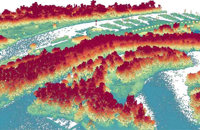
Researchers at IBED developed this infrastructure to use high-resolution remote sensing data derived from Light Detection and Ranging (LiDAR) to quantify fine-scale 3D ecosystem structures. The data, tools and software that make up this facility are used for biodiversity monitoring, habitat mapping, and ecosystem structure change detection.
The FlySafe Bird Avoidance Model, Operational Service Centre provides near real-time information and forecasts on large scale bird movement in the air space of The Netherlands, Germany and Belgium. This information is used by air force pilots to avoid collisions between aircraft and birds
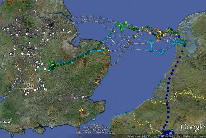
This e-Science infrastructure was developed by IBED and SURF for controlling the UvA-BiTS GPS bird tracking system, downloading the data, persistent storing of the data, and exploring and analysing measurements collected with the tracking devices.
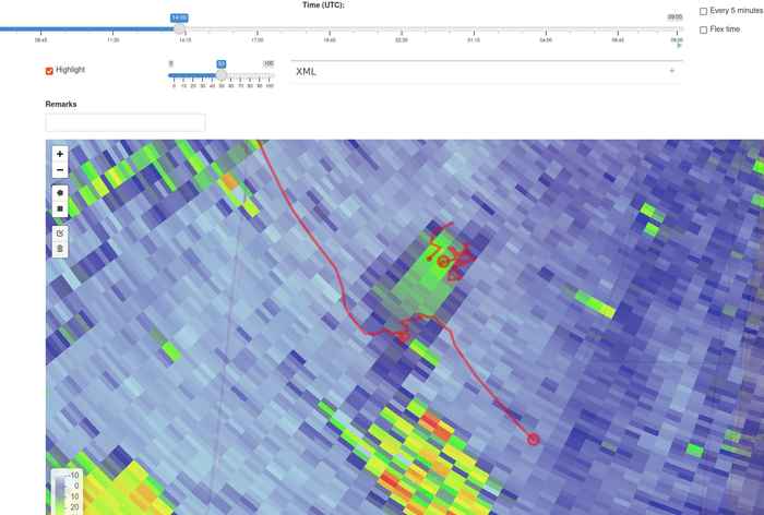
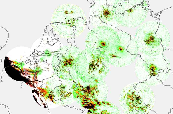
Our research uses weather and bird tracking radars to monitor, understand and predict bird movement. IBED has developed a unique research infrastructure of centralized databases and visualization and data annotation tools to facilitate rapid exploration, integration and use of the data.