3D vegetation structure in wetlands revealed by airborne laser scanning
10 May 2021
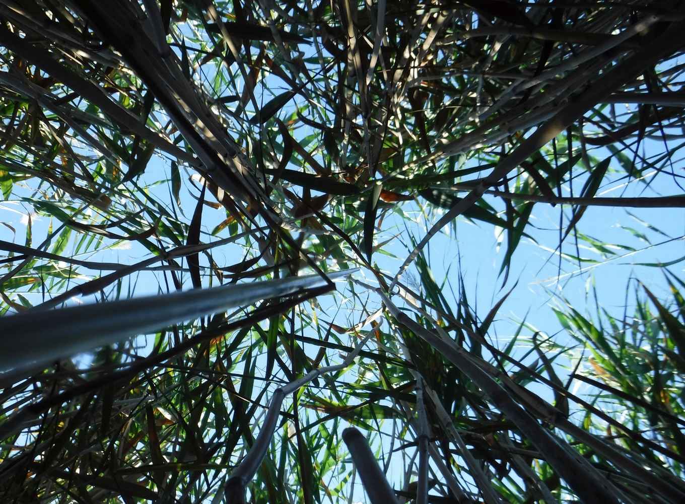
Light Detection And Ranging (LiDAR) is a remote sensing technique that can produce highly detailed 3D data of the landscape. Metrics derived from airborne laser scanning (ALS), also referred to as airborne LiDAR, can quantify different aspects of vegetation structure such as vegetation height, openness or vertical and horizontal variability. However, such LiDAR metrics are often not compared with actual field measurements of 3D vegetation structure because the latter is very time consuming to achieve.
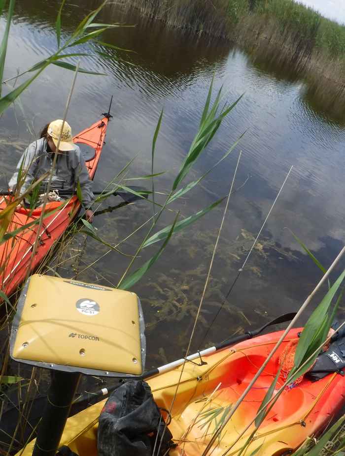
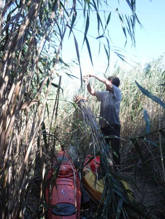
Moreover, the acquisition of ALS data is rarely standardized across different remote sensing surveys which further complicates a direct comparison across study sites. Therefore, an international team of researchers from the Netherlands and Hungary compared different types of ALS data from wetlands against a standardized set of field measurements that captured vegetation height, biomass and vegetation cover.
Laser scanning versus field data
The research team used multivariate regression models to compare field measurements of vegetation structure to LiDAR metrics derived from ALS surveys. ‘We found that the vegetation height could be robustly estimated based on ALS, whereas the biomass and leaf area index (vegetation cover) could not,’ says first author Zsófia Koma, who is performing her PhD research at the UvA Institute for Biodiversity and Ecosystem Dynamics. This was quite unexpected because LiDAR metrics are increasingly used in ecological research to approximate vegetation structure at high resolution over large areas.
‘The discrepancies between field and ALS data are probably caused by differences in the spatial resolution, temporal offset and the season in which measurements are taken’, explains Koma. ‘Our study suggest that ecologists and remote sensing scientists should better coordinate the simultaneous and standardized acquisition of field and ALS data to establish operational and spatially contiguous ALS-based indicators of 3D ecosystem structure in wetlands’ concludes Koma.
Monitoring ecosystem structure with cloud computing
‘Measuring ecosystem structure with airborne and spaceborne sensors is increasingly becoming important because it allows to monitor biodiversity and ecosystem change at high resolution and in a spatially contiguous way’, says W. Daniel Kissling, Associate Professor at UvA and senior author of the publication. ‘In my research group, we are developing new solutions to process these massive amounts of country-wide laser scanning data into LiDAR metrics that can be used in ecological applications’, explains Kissling. In collaboration with the Netherlands eScience Center his research group has developed a new software that can extract statistical properties from LiDAR point clouds through the efficient, scalable, and distributed processing of multi-terabyte datasets across a cluster of virtual machines.
‘Together with LifeWatch, a European research infrastructure consortium with focus on biodiversity and ecosystem research, and the research group of Zhiming Zhao from the UvA Informatics Institute we are now extending this to cloud computing platforms such as Microsoft Azure’, says Kissling. This will ultimately allow ecologists and remote sensing scientists to monitor changes in biodiversity and ecosystem structure in a highly efficient way, and with unprecedented detail over national and regional extents.
Publication details
Zsófia Koma, András Zlinszky, László Bekő, Péter Burai, Arie C. Seijmonsbergen, W. Daniel Kissling: ‘Quantifying 3D vegetation structure in wetlands using differently measured airborne laser scanning data,’ in Ecological Indicators 127, 107752 (August 2021). DOI: https://doi.org/10.1016/j.ecolind.2021.107752