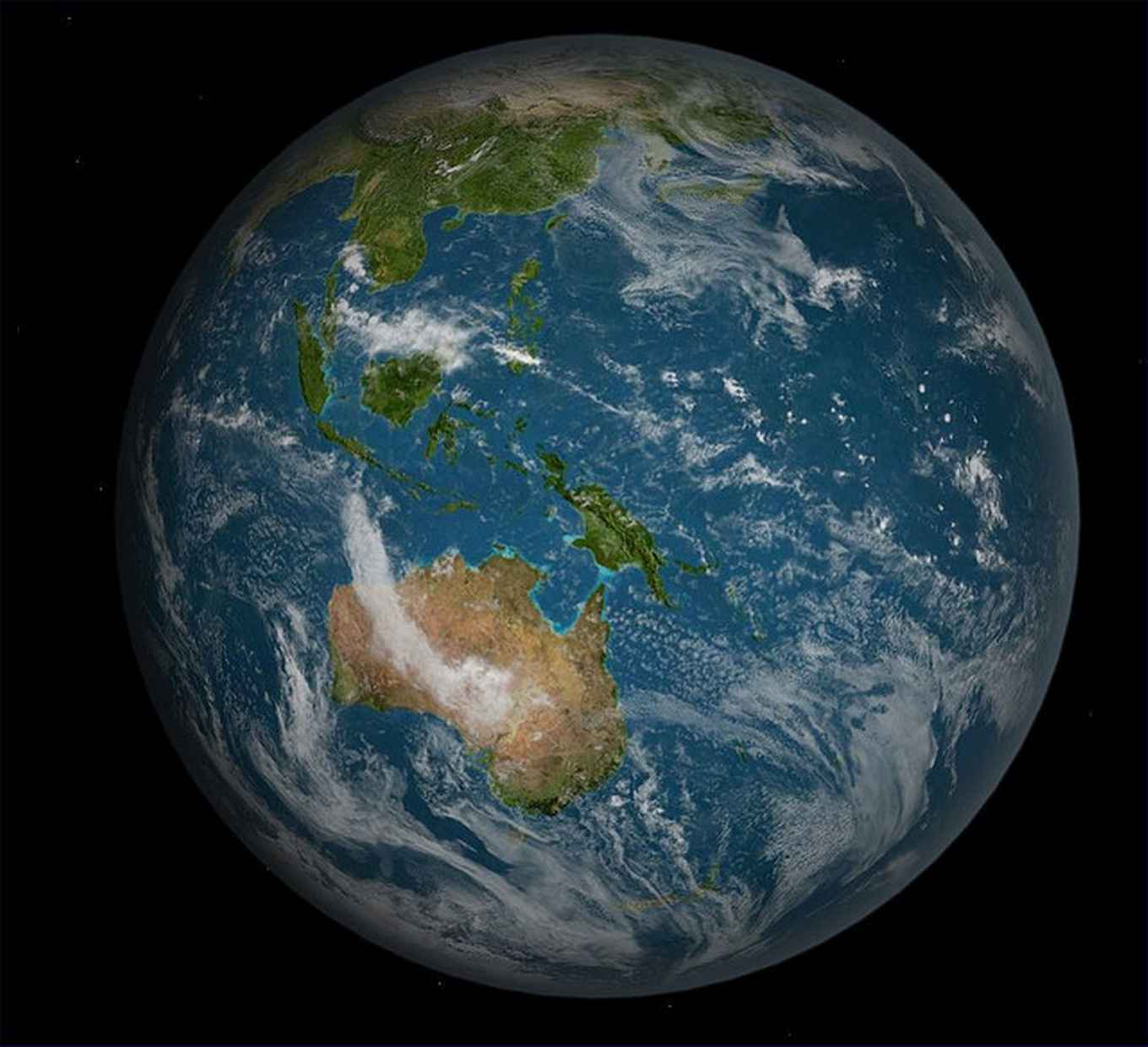
Tracking biodiversity from space
13 May 2021
Detecting biodiversity change requires comprehensive measurements of ecosystem structure and function, community composition, species traits and species populations at a range of spatial and temporal scales. Satellite remote sensing is an ideal tool for monitoring biodiversity changes from local to global levels, but to date there has been little connection between the work of ecologists (who compile in-situ measurements for biodiversity monitoring) and remote sensing specialists (who address technologies deriving remote sensing products for monitoring). Particularly lacking is knowledge on which remote sensing biodiversity products are most relevant for monitoring biodiversity change and whether they are operationally realistic from a remote sensing perspective.
Priorities for spaceborne measurements
The new study presents a priority list of the most relevant, feasible, accurate and mature measurements for direct monitoring of biodiversity from satellites. Co-author on the study Dr W. Daniel Kissling from the UvA Institute for Biodiversity and Ecosystem Dynamics explains: ‘The priority list has been jointly obtained by remote sensing scientists, ecologists, space agency engineers and science policy experts and identifies those currently available remote sensing biodiversity products that are most useful for detecting biodiversity change from space.’
In the priority list that was derived, remote sensing products describing non-periodic biological disturbances (e.g. forest fires or irregular inundation) or land cover (e.g. vegetation types) were ranked high in terms of relevance, feasibility, accuracy and maturity. While they are not biological per se, these products are intimately linked to the biology of life and can be readily discriminated by remote sensing. Such data layers are widely used for protected area and land management, and are available in virtually real time, accurate and technically mature.
Improved biodiversity monitoring
‘The prioritized list of remote sensing biodiversity products can improve the monitoring of geospatial biodiversity patterns and the coordination and communication between networks of observers’, explains Kissling. ‘Especially relevant is the improved coordination between space agencies who are the data providers and ecologists and biodiversity scientists who want to use such data for measuring biodiversity change’, continues Kissling.
The identified priority list of remote sensing biodiversity products often captures variables which measure ecosystem properties such as habitat structure or ecosystem function. Many ecologist are also interested in measurements of species traits, community composition, species distribution or population abundance. While these are highly relevant and feasible, they were ranked lower because they require further investment in satellite remote sensing for implementation at a global level. ‘As higher-spatial-resolution image spectroscopy and LiDAR satellites become available in the next decade, such measurements will soon become part of the toolbox of ecologist’, concludes Kissling.
Development of workflows
To derive suitable remote sensing data for ecologists, the Biogeography & Macroecology (BIOMAC) lab at the UvA Institute for Biodiversity and Ecosystem Dynamics together with LifeWatch-ERIC, a European research infrastructure consortium with focus on biodiversity and ecosystem research, is developing workflows for deriving essential biodiversity variables from remote sensing. ‘This requires to build interdisciplinary research teams with experts from ecology, remote sensing and informatics’, says Kissling. ‘We invest, for instance, in the use of active sensors such as light detection and ranging (LiDAR) because they are extremely powerful for retrieving variables that capture the three-dimensional (3D) structure of ecosystems and animal habitats’, explains Kissling. It also includes work on deriving essential biodiversity variables from space through fusing multiple remote sensing sources and in-situ data, such as very-high-resolution satellite imagery, hyperspectral imagery and LiDAR.
Publication details
Andrew K. Skidmore, Nicholas C. Coops, Elnaz Neinavaz, Abebe Ali, Michael E. Schaepman, Marc Paganini, W. Daniel Kissling, Petteri Vihervaara, Roshanak Darvishzadeh, Hannes Feilhauer, Miguel Fernandez, Néstor Fernández, Noel Gorelick, Ilse Geizendorffer, Uta Heiden, Marco Heurich, Donald Hobern, Stefanie Holzwarth, Frank E. Muller-Karger, Ruben Van De Kerchove, Angela Lausch, Pedro J. Leitãu, Marcelle C. Lock, Caspar A. Mücher, Brian O’Connor, Duccio Rocchini, Woody Turner, Jan Kees Vis, Tiejun Wang, Martin Wegmann and Vladimir Wingate: ‘Priority list of biodiversity metrics to observe from space,’ in Nature Ecology & Evolution (2021). DOI: https://doi.org/10.1038/s41559-021-01451-x