Geographic Information Systems (GIS)
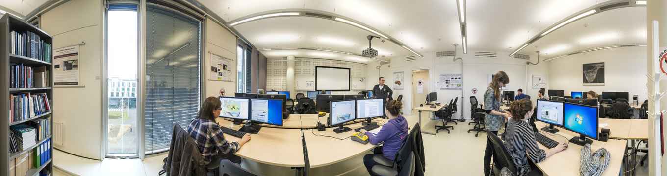
The GIS-studio supports students and staff with hardware, software, education and research projects for Bachelor and Master students.
Differential GPS and mobile GIS
The Global Positioning System (GPS) is a constellation of 24 satellites which circumnavigate our planet. GPS consist of a space segment (satellite), a control segment (ground station) and the user segment GPS receivers. Special GPS facilities and hand-held data acquisition units are available for use by IBED staff members and students during their field-based research.
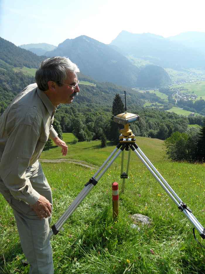
A Differential GPS (DGPS) station enhances the signal provided by the GPS space segment and allows positioning with centimetre accuracy which can be used to produce high-resolution elevations models of a field work site or the very precise location of e.g. sample point. We operate the Topcon HiPer+ system which has a dual-constellation (GPS + GLONASS) capability and an excellent under-canopy performance for use in e.g. densely forested areas.
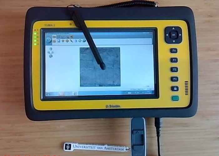
Mobile GIS is an expansion of a traditional Geographic Information System from the office into the field. It integrates four key technologies: the Global Positioning System, a hand-held unit which combines a GPS receiver with a field computer (Trimble GeoExplorer), GIS software and wireless communication capabilities. This allows in-situ mapping and logging of field observations for a variety of applications.
Contact information
Please contact us for more information