Birds in the Picture for Wind
10 January 2024
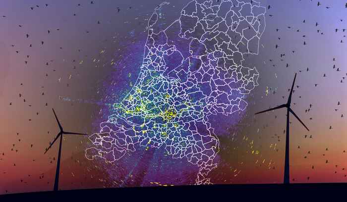
By 2030, seventy percent of electricity consumption in the Netherlands must come from renewable sources. To achieve this climate goal, it has been agreed that in addition to offshore wind farms, there is a necessity to build more onshore wind turbines. The responsibility for executing this plan lies with the Dutch provinces together with their municipalities. Many municipalities are already investigating specific areas for suitability. Unfortunately, it happens that birds fly into the blades or mast of wind turbines. The risk of a collision is closely related to the flight behaviour and flight height of birds. This varies per species, season and time of day.
Headwind, landscape, bird migration
Weather conditions can strongly influence the height at which birds fly. In a headwind, birds fly lower than when they are blown forward at a great height with the wind at their backs. Weather conditions and the landscape with its coastlines, dikes, buildings and green structures also shape where birds fly past. All these factors influence the chance of collisions both during the migration of birds to their wintering areas and during their daily movements from a sleeping place to the places where they look for food.
Legally required research
It is required by law to conduct thorough research into the possible effects on nature, including birds, before installing wind turbines. Extensive use is made of existing knowledge and data, including from the National Database of Flora and Fauna (NDFF) and the national Wind Turbine Sensitivity Maps of SOVON Bird Research Netherlands.
When flight routes and flight behaviour are better understood at a regional scale, this can be taken into account when making the final choice of location for wind turbines. Important flight routes can be spared, for example by temporarily shutting down wind turbines.
UvA involvement
The UvA conducts research into regional flight routes and flight behaviour within the province of North Holland, using weather radar data from the KNMI in Den Helder and Herwijnen. In addition, a special bird radar is used in ARTIS, which is part of the national biodiversity project ARISE. The combination of the different radar types provides the most complete picture possible of where and how high birds fly, with more regional details than currently available.
Partners & duration
The study was started by the UvA at the end of 2022 with co-financing by the province of North Holland, the municipality of Amsterdam and the municipality of Diemen, and will run until mid-2024.
Results from this study are included and linked to (inter)national research in which UvA participates: GloBAM.