Facilities & resources
Bird migration radar network
In our research we use operational weather radars and different bird radars (Robin Radar and Swiss Birdradar) to measure bird movement across Europe. Over the years we have been working with diverse partners through projects such as the European Network for the Radar Surveillance of Animal Movement and GloBAM to improve ways of utilizing the OPERA weather radar network to study bird migration. KNMI and the Royal Netherlands Air Force are important Dutch partners in developing this infrastructure. Through ARISE we own and operate two Birdscan radars. One of the radars is positioned in ARTIS Park in Amsterdam, and the other is in Hollands Duin, a protected dune area on the Dutch coast. Data can be viewed here. Through project partnerships with Rijkswaterstaat, the Royal Netherlands Air Force and Gemini Windpark we have a live database of 13 robin radars. Information on migration and bird movement extracted from radars is being used to develop predictive models of bird migration to reduce aerial conflicts between migratory birds and human activities, such as military aviation and wind energy.
Animation of peak bird migration measured on two Dutch (KNMI) and three Belgian (meteo.be) weather radars on the night of 3 October 2016.
Virtual labs
Together with external partners (e.g., IvI, ESA, Netherlands eScience Center, and SURFsara) we have developed virtual labs for data archiving, management, exploration, visualization, and analysis and for high performance computation. Examples include (1) the Uva-BiTS virtual lab which allows tracking bird movement and behaviour and (2) the FlySafe Bird Avoidance Model which is a bird warning system to improve flight safety.
Bio-loggers & digital sensors
Our research on movement analysis requires specific bio-loggers and data infrastructure to host and analyse data collected by tracking devices. We developed UvA bird tracking system, UvA-BiTS. The development and miniaturisation of hardware was done in collaboration with the Technology Centre of the UvA Faculty of Science and development of data infrastructure in collaboration with Netherlands eScience Center and SURF. In the ARISE project, we are responsible for innovating biodiversity monitoring with digital sensors (team monitoring demonstration sites). We are deploying a diverse set of digital sensors, including >10 insect cameras, 30 acoustic sensors, 60 wildlife cameras, and one aerial camera for detecting bird movements.
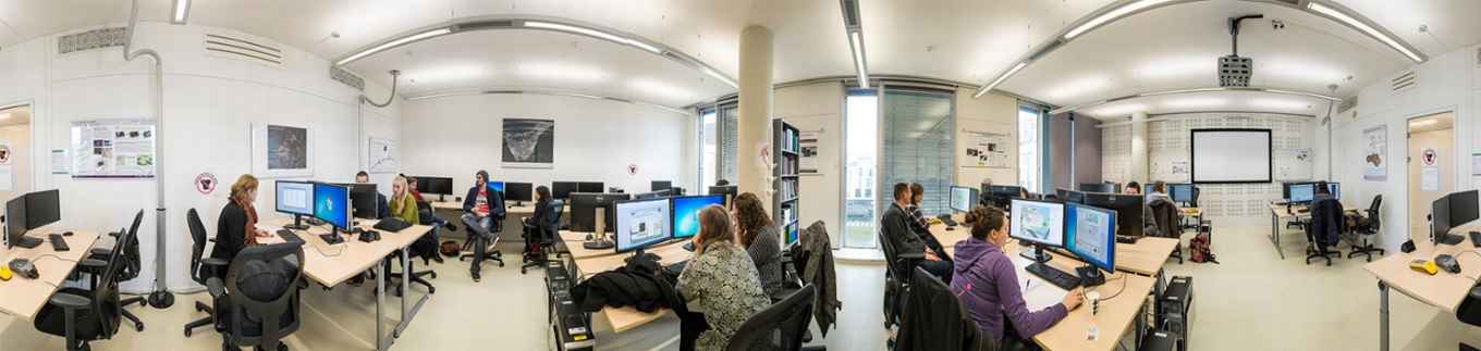
GIS Studio
The GIS studio is a computer room with dedicated software for Geographic Information Systems (GIS) and Remote Sensing Image Analysis. It is mostly used for education in biology and earth science at the BSc and MSc level and also for specific PhD projects. It facilitates working with high-end computers and up-to-date GIS- and remote sensing software.
Computing
We have a few high-end computer servers to run our macroecological analyses. We also use SURFsara facilities such as the Snellius supercomputer, Spider and the HPC cloud.